I secretly hoped Longs Peak would be my first 14,000 foot peak (14er) in Colorado. Longs Peak is the mountain I see from everywhere around the area near Denver/Boulder, Colorado. I know it is a challenging peak to summit and having not summited any 14ers in Colorado I kind of didn´t know exactly what to expect or know if I was even capable. I figured I´d most likely summit Mount Bierstadt, another local peak that is much easier to summit and I know in fact that most levels of hikers in the Denver area might start there first. Mount Bierstadt had also been recommended by a couple of friends so I just figured it would wound up being my first. It was not and I am proud to say Longs Peak was my first 14er in Colorado!
Keyhole Route (Longs Peak)
Elevation: 14, 259 ft (4,346m)
Distance: 13.5 miles (21.7km) RT
Chasm Lake: 2.5 miles (4km) RT
For a background I have climbed peaks far higher than 14,000 feet, including ones with glaciers. No clue why I thought I wasn´t capable but the mountains in Colorado are new to me so I wasn´t sure what to expect, it has been awhile since I climbed a big peak and well I guess one hears a lot of things these days and it sometimes makes you doubt your skills and capabilities. A bit of caution around something new is smart, as is researching beforehand, becoming familiar with expectations and beta about the route is very helpful. I will say I do live here so for those coming from lower elevations it is very important to know how you react at altitude, to listen to your body and know signs of altitude sickness.
Not having a car, none of the 14er peaks were really a goal I planned to take on anytime soon. My first peak would most likely be from someone going to climb a 14er and inviting me. That is exactly what happened and rather last minute if I might add.
A Spanish friend was in town and he planned to climb some 14ers while here and he invited me. Due to incoming weather, he informed me the night before which peak he planned to summit. I was excited but cautious as I really didn´t know what to expect and now I needed to research last minute where I was going and what it entailed as well as get information from him. We had never hiked together before, all I knew is that he had summited many 14ers here, has climbed other mountains elsewhere and that of exercise I have run with him.
After some research and getting confident that he knew what he was doing and that I would be capable of tackling Longs Peak I decided to join him.
Longs Peak is legit a long day out on the mountain. Long Peak sits at 14,259 feet (4,346m) high and to reach it you hike/scramble just over 13.5 miles (21.7km) round trip on the Keyhole route. The elevation gain is just shy of 5k feet (1503m). Due to the long day and thunderstorm potential on the peaks in Colorado in the summer it is advised to go early and be far off the summit by 12 pm. This means starting the hike in the dark well before sunrise.
Remember:
Weather/Storms (know forecast for storms = generally start before sunrise)
Altitude (elevation affects everyone differently, go slower/take breaks as needed)
Hydration (very dry and high altitude = you need more water)
Sunscreen, hat, sunglasses, sun shirt (sun is stronger at altitude = you will burn faster)
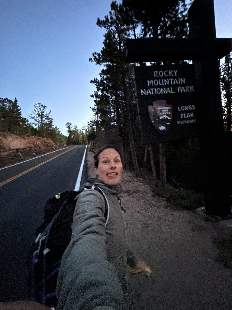
Longs Peak is in Rocky Mountain National Park (you need to pay to enter the National Park) and it is one of the most popular summits to attempt because of this. The day we climbed the ranger said at least 150 people had been on the trail that day! This was also my first time in Rocky Mountain National Park which was extra exciting and aligned well with how I approach the National Parks (I´m kind of spontaneous and they happen randomly).
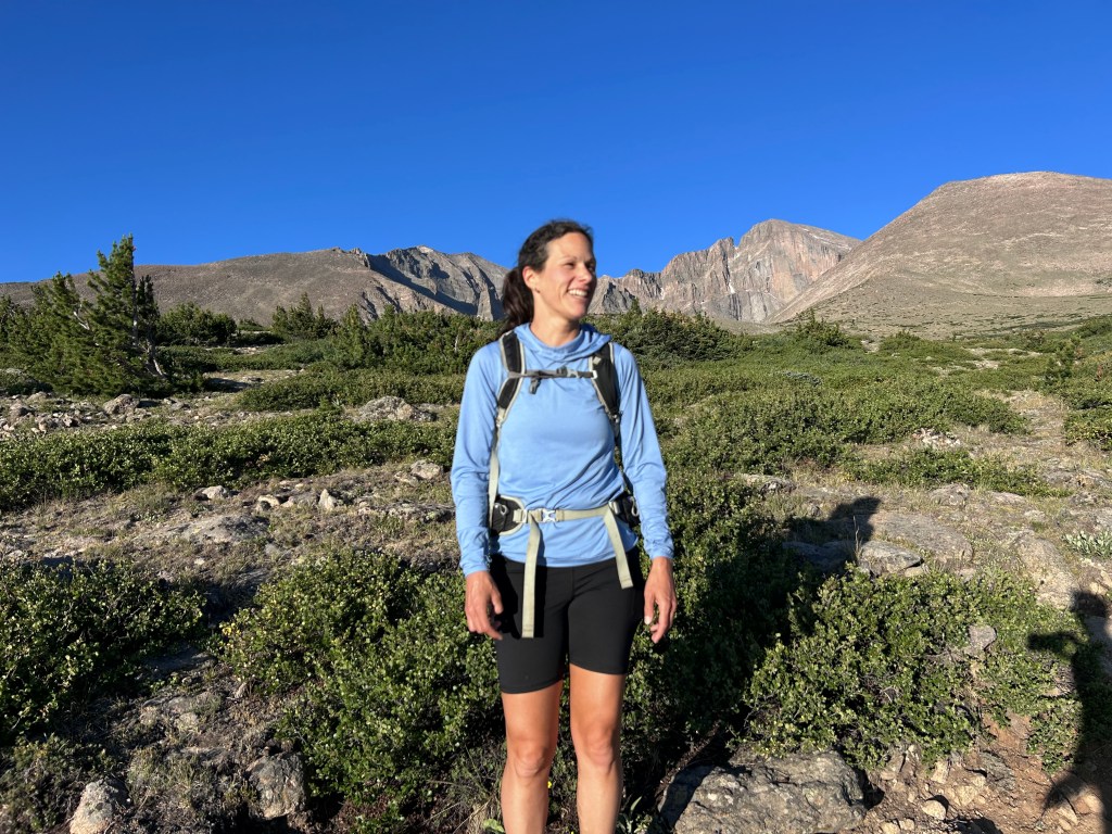
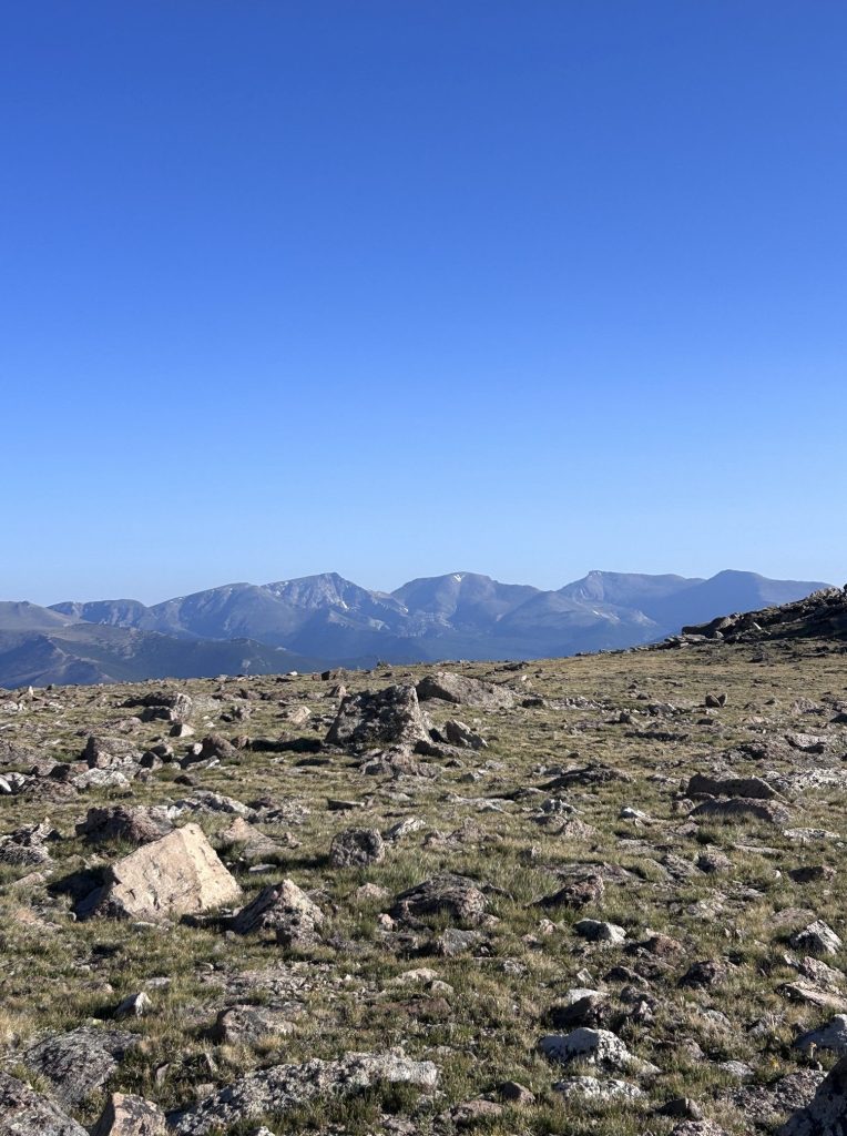
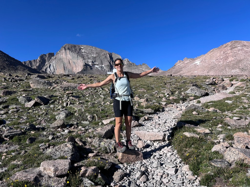
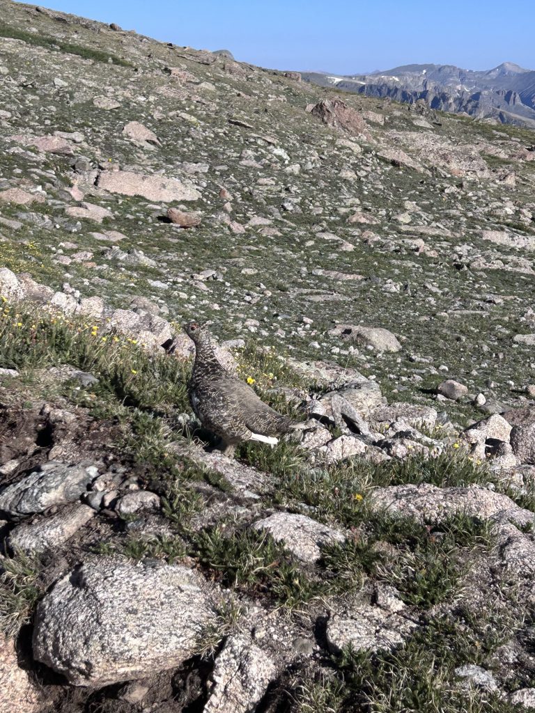
If you did not know, there are 53 official peaks in Colorado above 14,000 feet, Longs Peak is the 15th highest on that list. There are a few others that are not included in the list as they usually are secondary to another peak and do not drop enough feet between them to count officially in the listing (its a thing here)…and then at least 1 peak on the list is inaccessible due to land rights. Many who live here have at least climbed one 14er and then there are a bunch who try to climb every one of them on the list (mind you most are class 3 and below…very doable). I do not plan to climb all of them but I do think it would be nice to get at least 1 per mountain range. I know most know the range through Colorado as the Rocky Mountains but there are in fact 6 different mountain ranges or different forest areas that have the 14ers in the state, for instance, Longs Peak belongs to the Front Range. The other mountain ranges with 14ers are Sangre de Cristo, Elk Mountains, San Juan Mountains, Mosquito/Tenmile Range and Sawatch Range. Which after this summer I have just 2 mountain ranges left to snag a 14er.
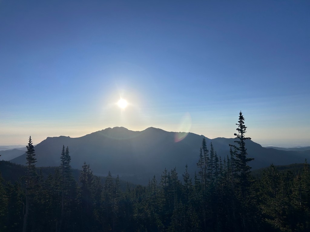
Starting early was the plan, we left early but were delayed for whatever reasons and we actually started just as the sun was coming up over the horizon. We are both fairly fast hikers and luckily have a similar pace. On the way up at least 2 people mentioned to either pay attention to the weather or that we specifically were going up too late…this as it turns out is fairly common to hear from other hikers from what I experienced on other 14ers later that week and what friends have also mentioned to me I´d say to each their own but also there are ways to warn people in nicer ways than simply you are too late! We knew the weather forecast (potential for storms after 2pm) and trust me I was pretty worried about getting caught in a lightning storm as I do not like them and it is a fact that people die from lightning strikes on the mountains (Yearly, Colorado has 500,000 lightning strikes and is the 3rd highest in US for deaths due to them). April to October is when the storms with lightning generally happen in Colorado and the peak months you should really be particularly aware of these storms is from June to August. The day we went we actually never saw any storm clouds rolling in and were able to stay longer and enjoy other parts of the area like Chasm Lake…a true hidden paradise…Go!
Be aware, as a popular hike, parking gets full very early especially on a weekend. You can park down along the road though, many do and we did.
The first few miles on any 14er seems to be in the trees and Longs Peak was this way for several miles. Once out of the trees it was a gentle incline as you made your way into the rock field. In the rock field you can camp (with reservation) and there are toilets. There is also a stream that goes around and under the rocks so you can filter water if needed.
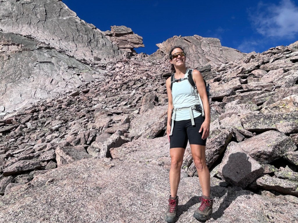
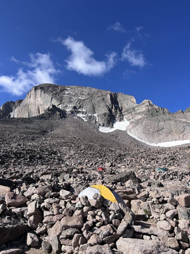
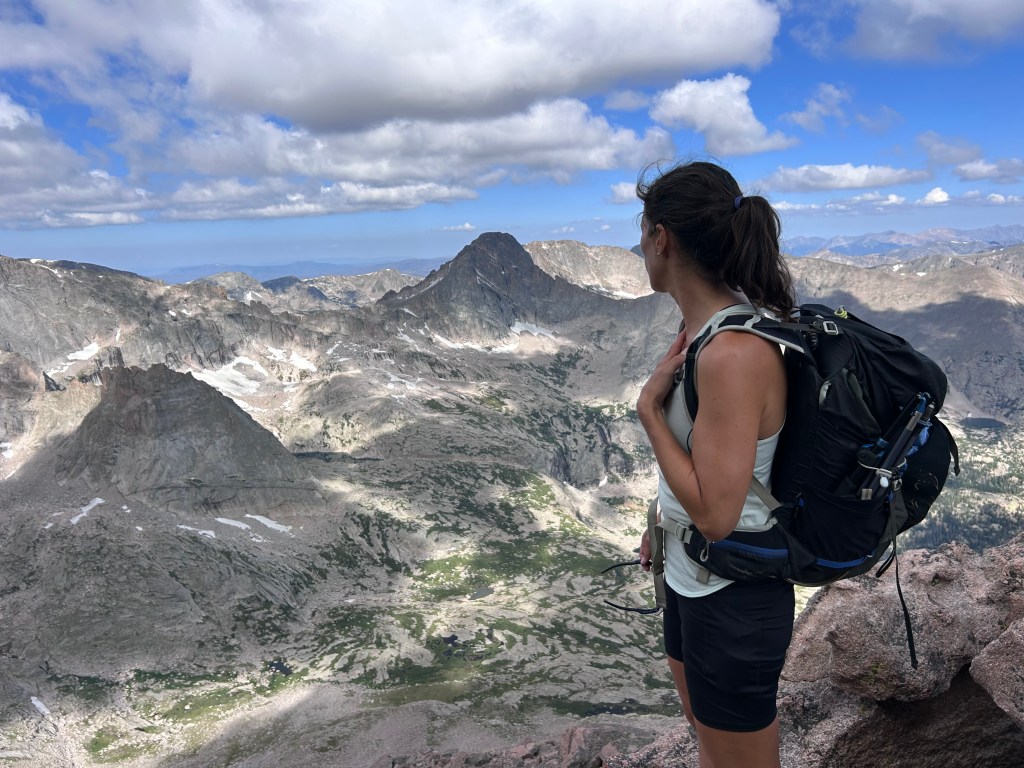
Once at the rock field you can look up and spot the keyhole, it´s the rock formation that is unique and looks literally like an antique key hole. This part is steeper and more of rock hopping as you kind of find your own path to the keyhole. Many hike just to the keyhole and call it good. The keyhole is worth the climb as once you reach it the views on the other side are impressive. You will be at 13,150 feet (4008m) if you reach here. If I was just going to the keyhole I would be more than satisfied. With the views generally come wind…so if you must there is a tiny stone cabin to huddle in…but maybe not much space when 150 people are up there.
The other side of the keyhole is all rock, there is a path and it kind of winds up and around the rocks, its nothing crazy.
This section ends at a couloir (like a gully), where it becomes quite steep again, there is loose rock and you need to be aware of rock fall from those above you. This section, called Troughs, seems to get quite a few people going up and down all at the same time. I would recommend a helmet here as not everyone is sure footed nor are rocks always deeply placed.
Route Expectations:
Trees and forest (steady uphill)
No trees, shrubs to grasses to rocks (gentle incline)
Rocky to camping area
Rock hopping to Keyhole (pick a route – short and steep)
Route finding, somewhat flat with scrambles (follow the red circle dot)
Helmet time at Troughs (couloir/gully = steep and rock fall hazard)
Narrow cliff section is linear (take turns sharing trail, go slow)
Rock slabs scramble to top (steep, potential rock fall hazard)
Summit plateau/mesa (enjoy views, eat, photos)
Return same route (don´t miss the sign down)
Once at the top here you get new views looking South, yeah! Past here is a somewhat narrow section that goes for a bit. It´s not steep but its kind of one way so be kind and let people through occasionally! Also enjoy the views, take it slow and don´t look down too often…yes the edge is near. Before getting out of this part there is a small scramble…which for me and anyone my height…or just not tall, lol its a bit more effort than you expect. This route up Longs Peak is considered a class 3 scramble…as in there are moments when you need both hands to make your way up portions of rocks, but no ropes are needed. (Explanation of Classes)
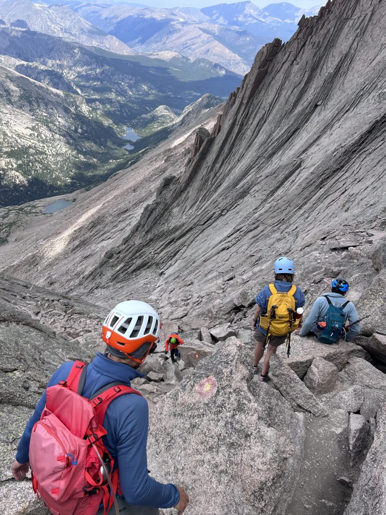
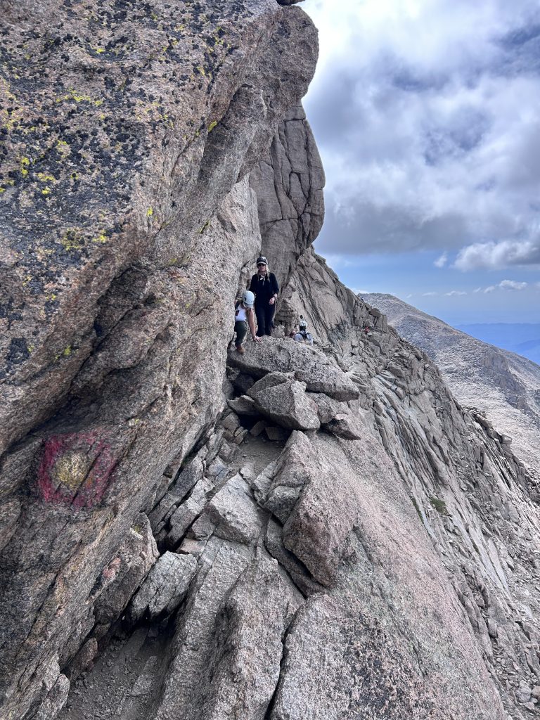
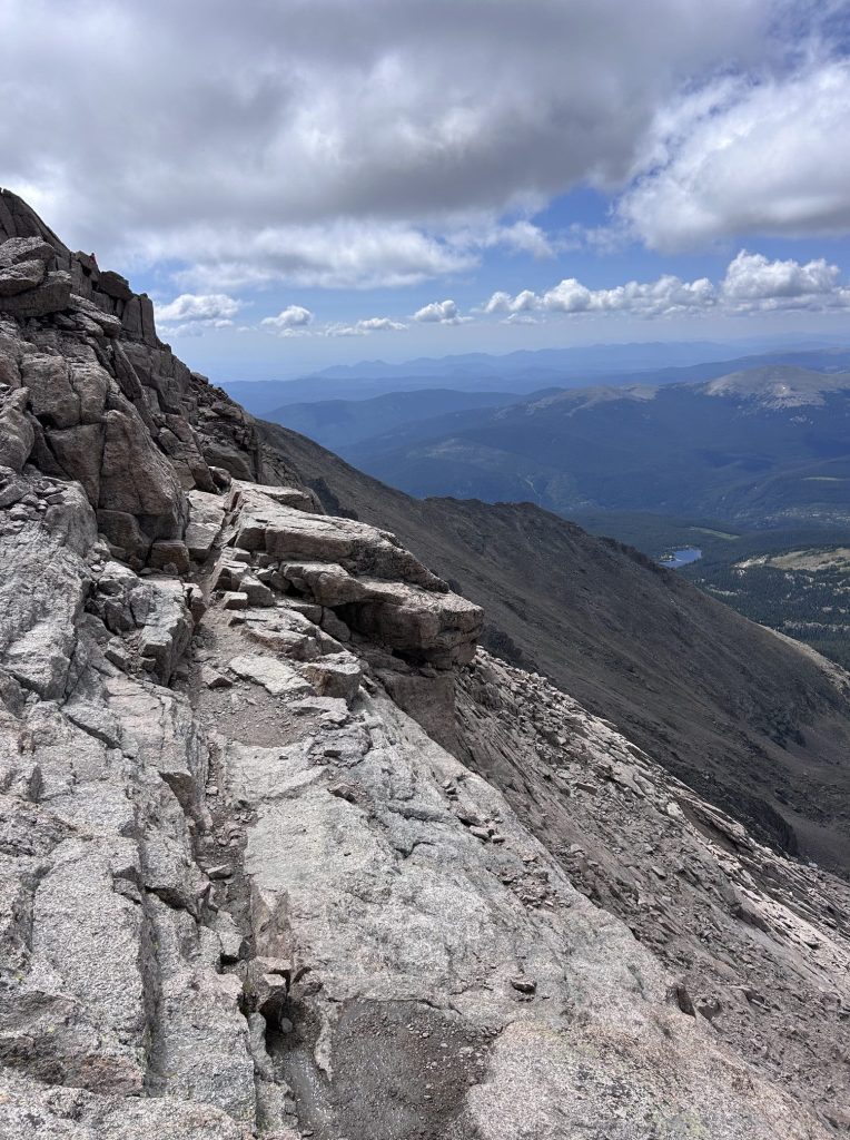
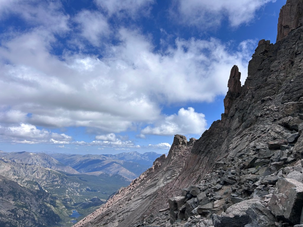
Past this and around the corner a bit is the next steep section, again seemed to be full of people and is the final push to the summit. Hang in there, you got this! This area has big slabs of rock, you aren´t as close to the edge and rock fall is way less of an issue.
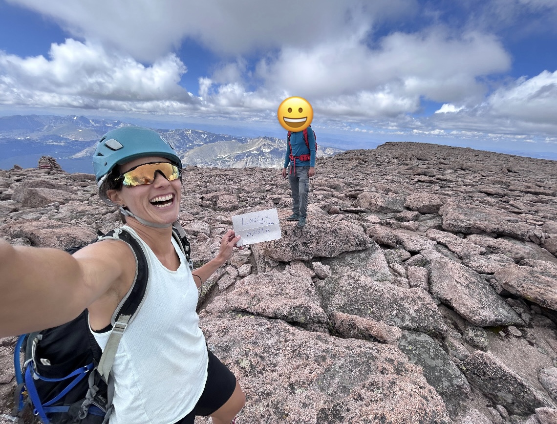
The top is a surprising mesa, there is a lot of room to roam up there! Also take note that as you walk onto this summit mesa there is a sign designating this as the keyhole route…you will need to find it to go back down…not all routes are equal on Longs…trust me you want to return the same way you came up.
As long as the weather is good…aka no clouds brewing storms on the horizon…and you are within your time window enjoy the summit you just reached. CONGRATS! I went around exploring, chatting with others and taking photos. The view down to Lake Chasm and looking South seemed to be my favorites but find yours!
My friend and I took our time, ate lunch and then headed back down the mountain using the same route.
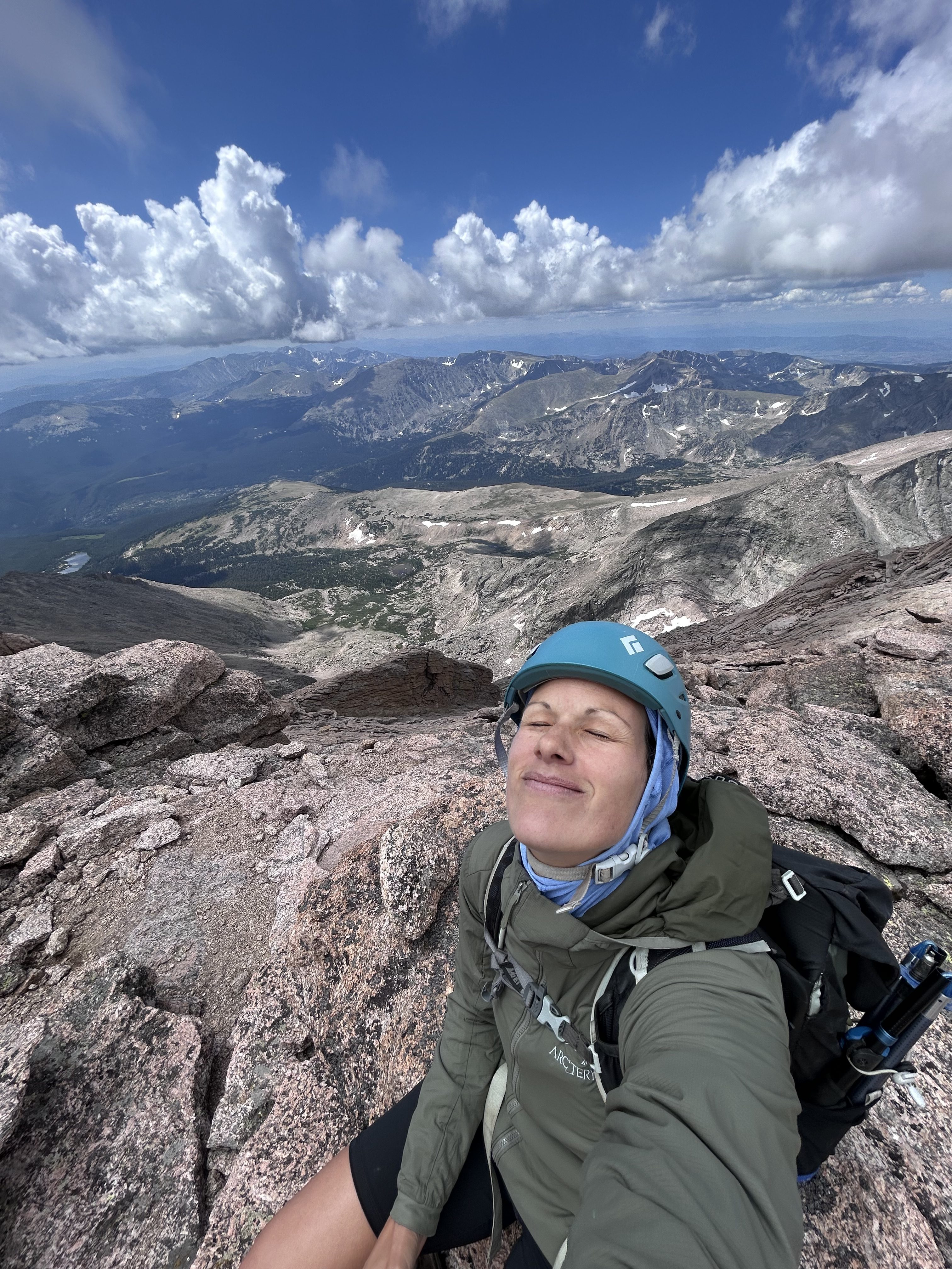
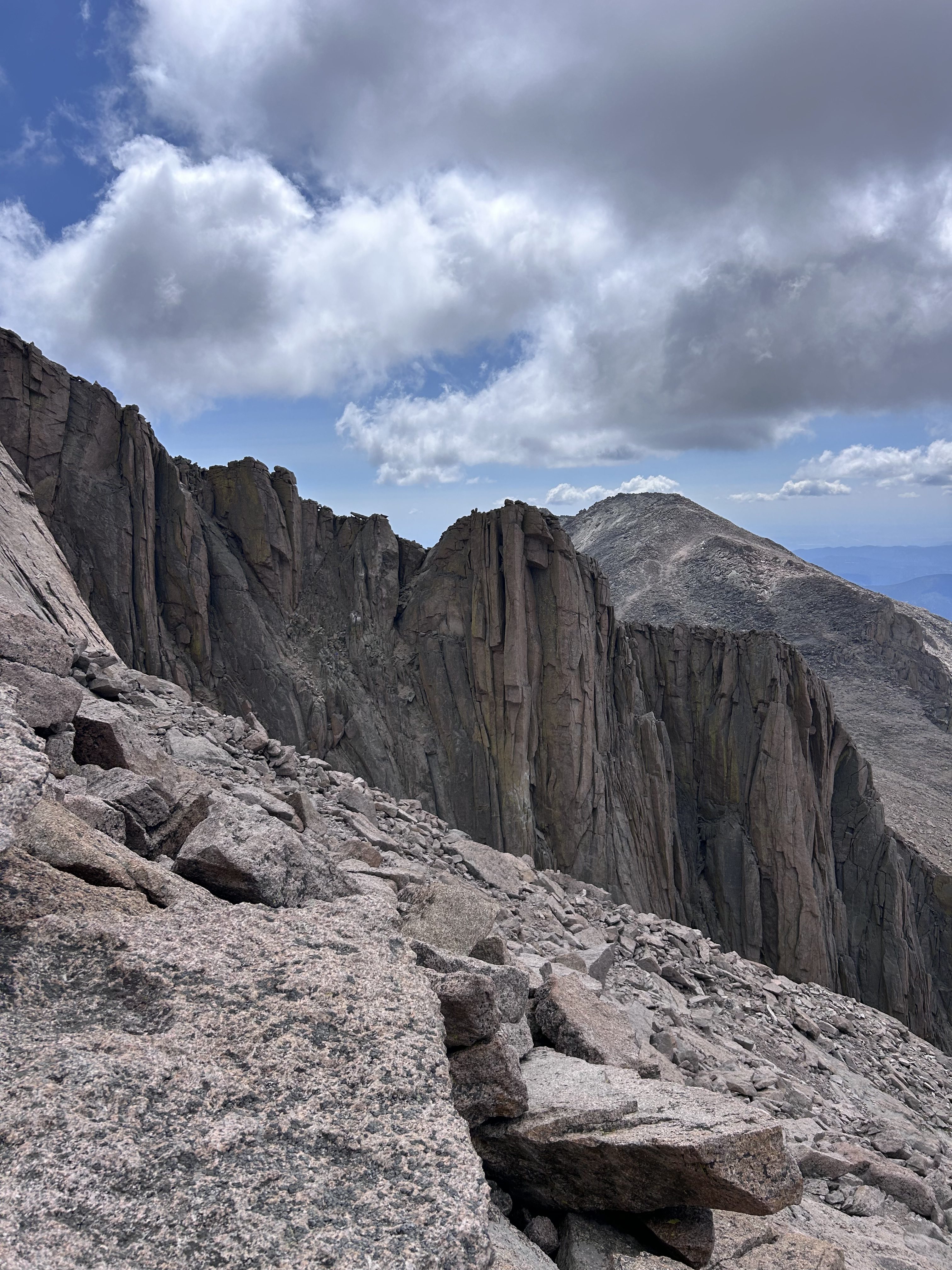
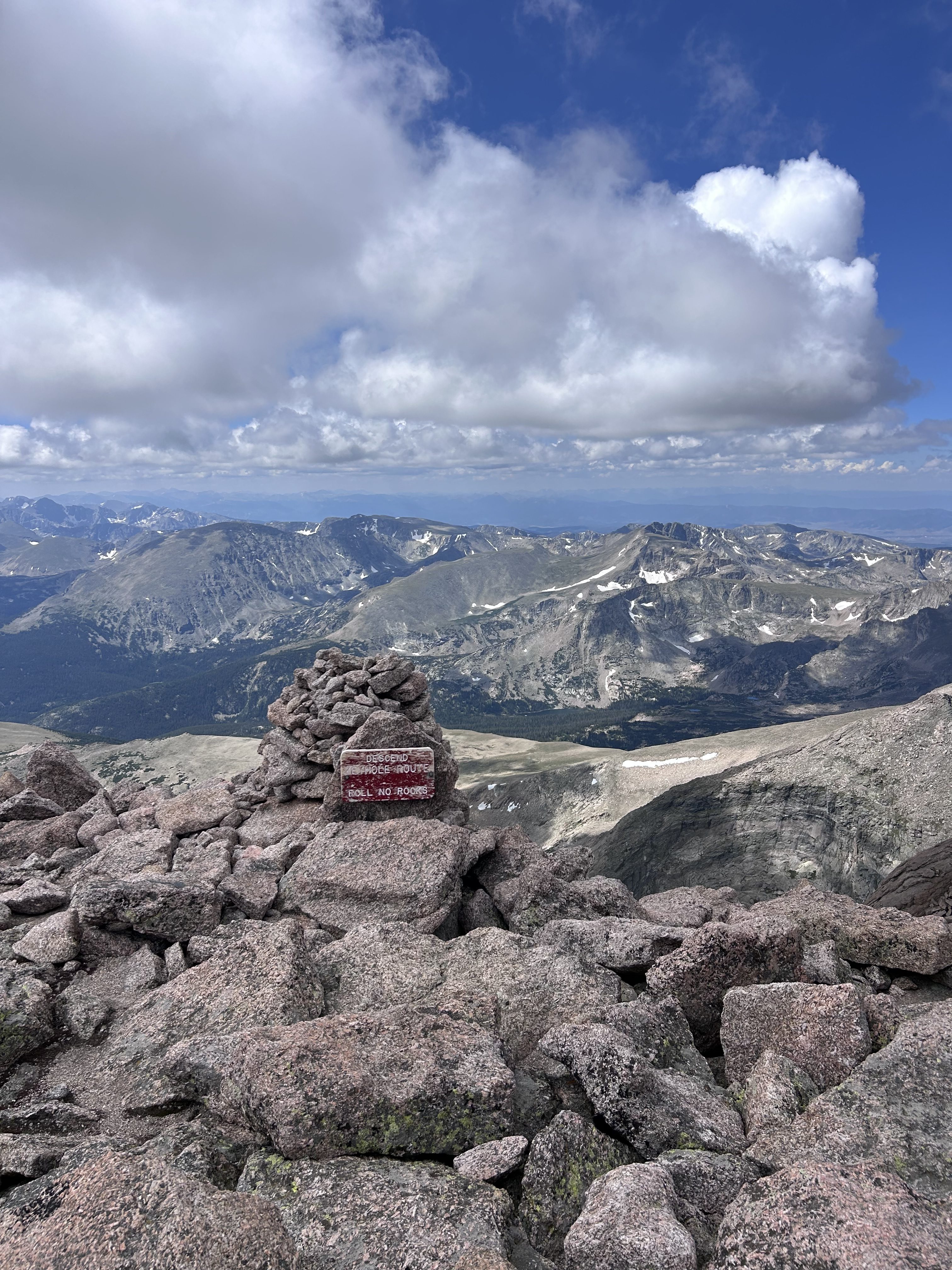
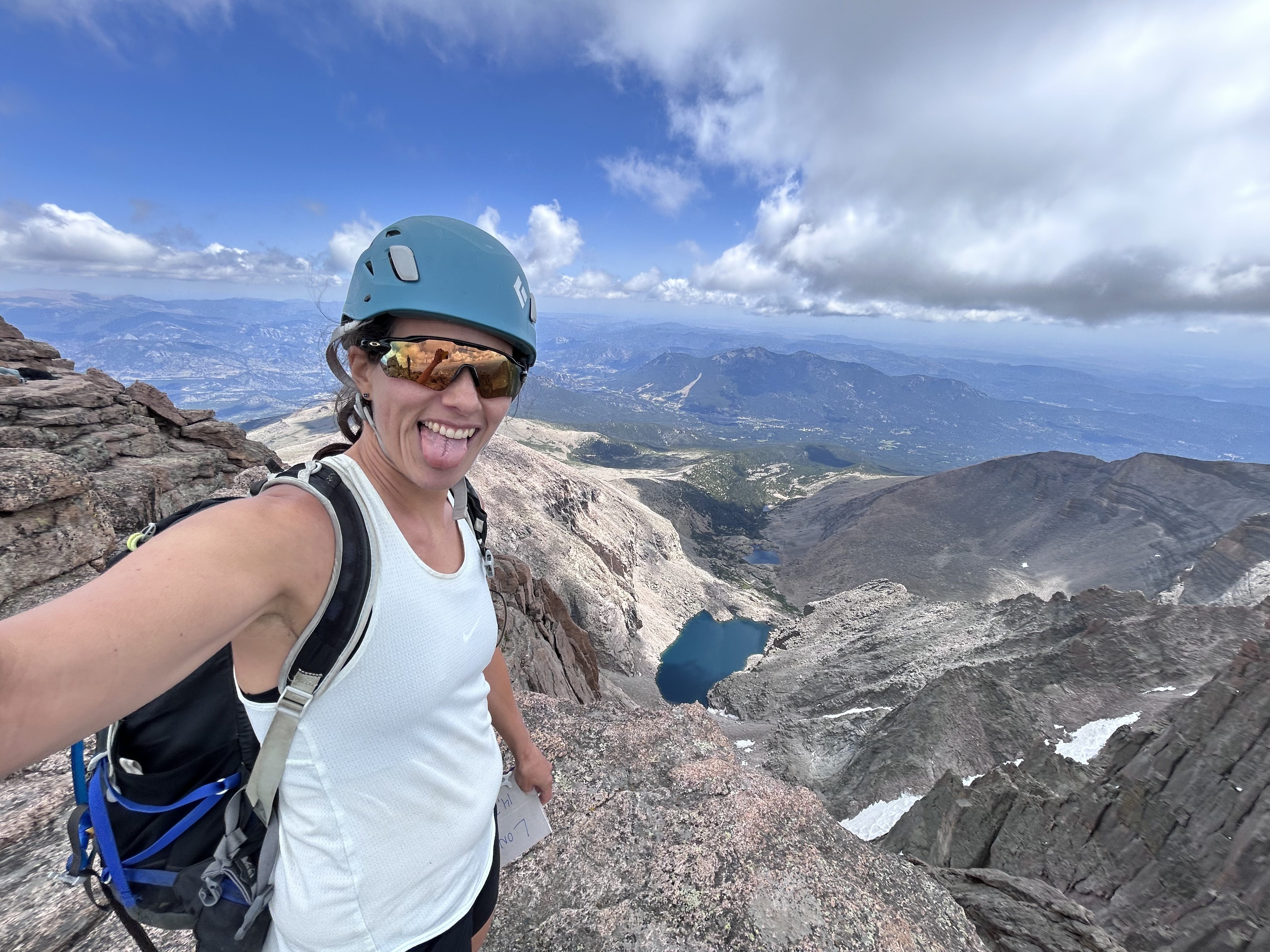
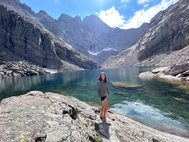
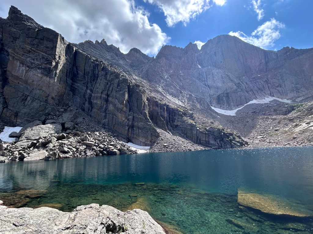
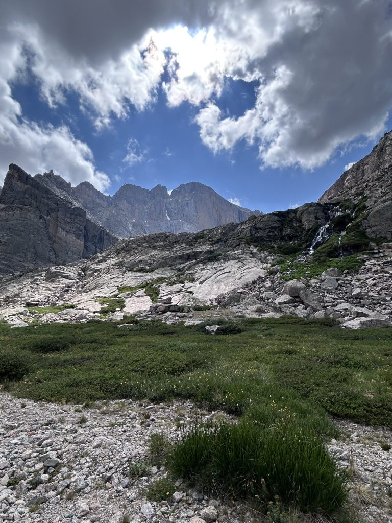
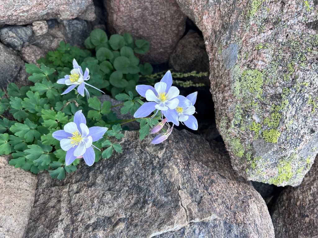
As I doubt I will do the peak again and was curious about Chasm Lake (my friend had been and said it was nice) we added that onto our already long day once we reached the junction…maybe halfway down. For me Chasm Lake was a surprise paradise, after lots of rock all day, this area was very lush green with waterfalls here and there coming off the cliffs and it offered a cold dip, place to air out and wash the feet plus we spotted wildlife, enjoyed wildflowers and got views across the lake of the recently achieved Longs Peak. This add on is 2.5 miles (4km) extra round trip.
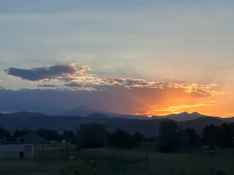
All this walking in the end made for a very long first 14er with something like 16 miles and 12 hours in the mountains. I loved it all but I was quite tired afterwards. At least we were rewarded with a beautiful sunset behind Longs Peak on the drive home.
Elevation is something to consider, most of Colorado is somewhere at 5,000 ft, this hike started at 9,405 ft and the top was above 14,000 ft. Prepare yourself well. The altitude hits even if you live here. I went up to 10,000 and 12,000 feet a few times before this. I was fine but I did feel the altitude and I just needed to slow down, stop talking and take more concentrated breaths. My friend got off the plane the day before, so he felt it more but since he just arrived he was doing fine as its generally after a few sleeps that you start to really feel the altitude. If you feel it upon arrival, that is ok too, just be aware of what you are feeling and know you will likely feel it even more higher up.
Sun is also stronger in Colorado and at altitude in general and you can expect the sun to be out often…so sunscreen, hat, glasses and potentially a sunshirt is smart here. Not only does it burn or hopefully only tan your skin, it also dehydrates you very quick! Make sure you are drinking water the whole time. I´d also recommend always carrying chapstick, lips dry out often and burn too.
Technical Details for Longs Peak
RMNP – National Park Current Conditions
What to do in Lightning Storm (more info)